Growing and Greening the Campus
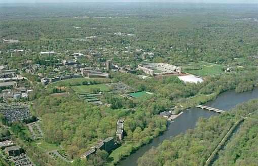
This recent aerial shows the campus and town as seen from Lake Carnegie at the south. With most people coming to the town and campus via Alexander Street, Washington Road, or the Dinky, the first view of campus is often of the southern edge, traditionally considered the back of campus. As the campus continues to grow, defining a harmonious and sustainable relationship with both the surrounding Borough and Township as well as with the natural systems of the landscape is a primary objective.
Images: Graphic Arts Collection and University Archives, Department of Rare Books and Special Collections, Princeton University Library. Courtesy of The Historical Society of Princeton.
Photos: Courtesy of the Princeton University Office of Communications.
© 2006 The Trustees of Princeton University Last update: November 2, 2006